Reef Monitoring Project
The coral reefs of Magnetic Island are numerous and diverse, ranging from the turbid water assemblages on the western and northern side of the island to the clear water reefs of the north-eastern beaches, and the coral communities growing directly on the rocky shores that line most of the island.
Surveys and reef monitoring activities have been undertaken here, off and on, for many decades, at least since the late 1980s, and several of our senior marine science associates have been involved in that work.
However, given the size of the island and its 40km of coastline, only a small fraction of the marine environment has been surveyed, and an even smaller proportion has been actively monitored repeatedly through time. Furthermore, the survey techniques that have been used are the traditional “transect tape and slate” methods, which are not particularly accessible to citizen scientists.
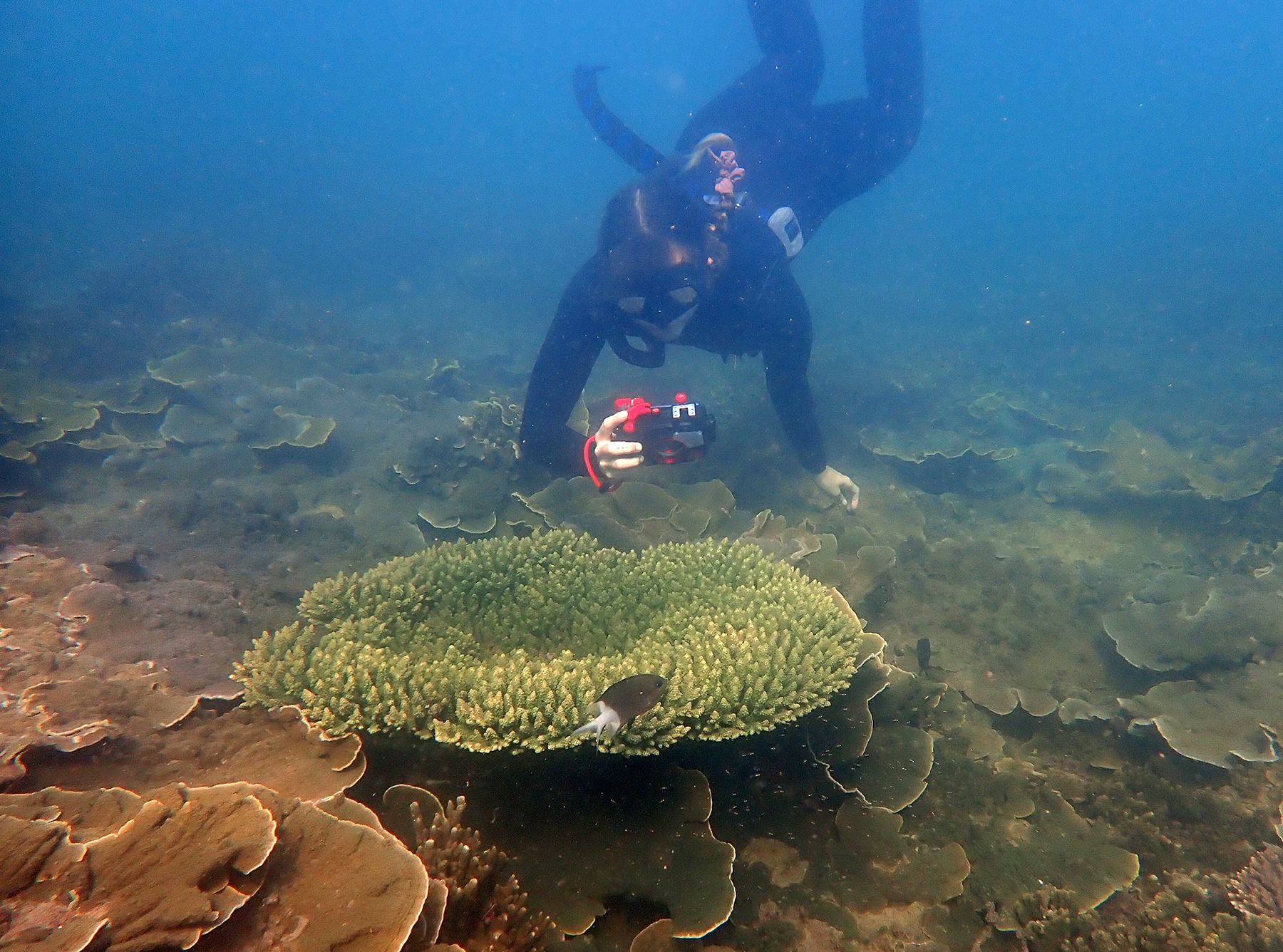
Our team has a large archive of photo-monitoring imagery from most of the major bays, and we have wanted to extend and improve that dataset for quite some time. We have been incorporating geotagging digital camera technology into our Melanesian and Lizard Island operations for the last 2 years, and so we thought – let’s apply that to the Magnetic Island reefs right in our backyard!


Reef Monitoring using Natural Features
Public interest in the status of the Great Barrier Reef has never been higher. Finding compelling and innovative ways to convey the changing condition of the Great Barrier Reef to the average person, especially through using digital technology and social media, is now super important. Time-series images of the same piece of reef are a very powerful tool to convey information about reef dynamics, and from a scientific point of view, they are essential to make accurate assessments of reef condition.
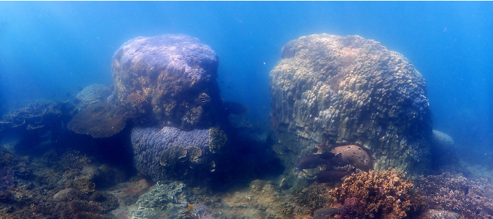
Geotagging digital camera technology makes it very easy to relocate and re-photograph the same piece of reef, without the need to physically damage the reef by hammering in metal marker bars, which is still the method used in the old-school tape and slate survey technique. It is particularly easy to photograph the same site if distinct natural features such as massive corals rocks are used to identify the survey area.
We have discovered and mapped a network of these natural features at a series of sites, right around the island, wherever reefs are growing, and now we would like you to help us by using your own camera to continue the monitoring work! This will provide valuable reef condition information to the island community, the traditional owners, and management agencies, as well as providing an ongoing framework for citizen scientists to participate directly in the collection of photo-monitoring data around Magnetic Island, one of the most accessible reefs on the GBR.


