Fish Cove
Site Information
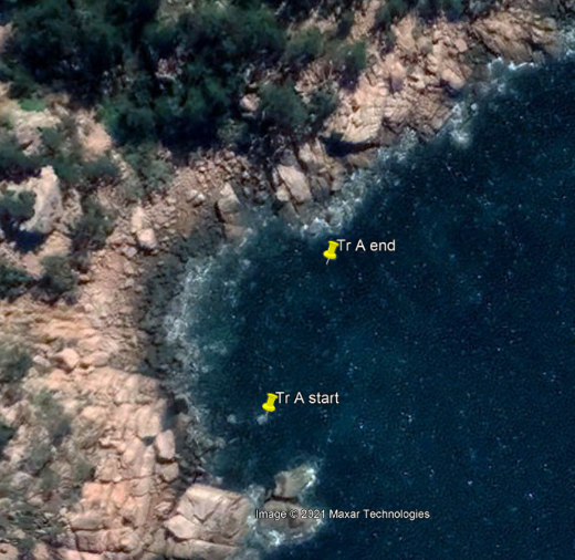
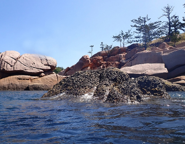
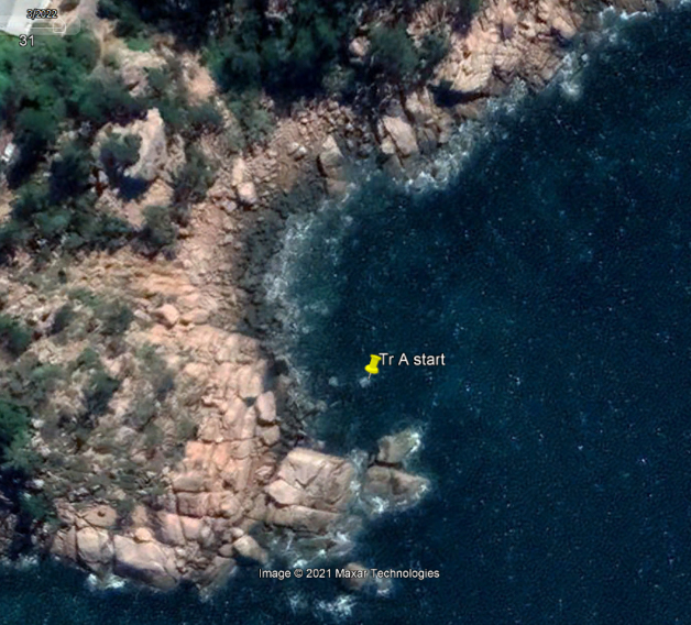
STEP 1 – Transect A reference point
- Description: Semi-submerged granite rock on the south side of the bay
- Location: The easternmost one of the pair of rocks here
- GPS Location (DDM): 19° 8.847’S 146° 52.296’E
- GPS Location (DMS): 19° 8’50.81″S 146°52’17.77″E
STEP 2 – Transect A survey direction
- Direction: 15° Magnetic (North-north East)
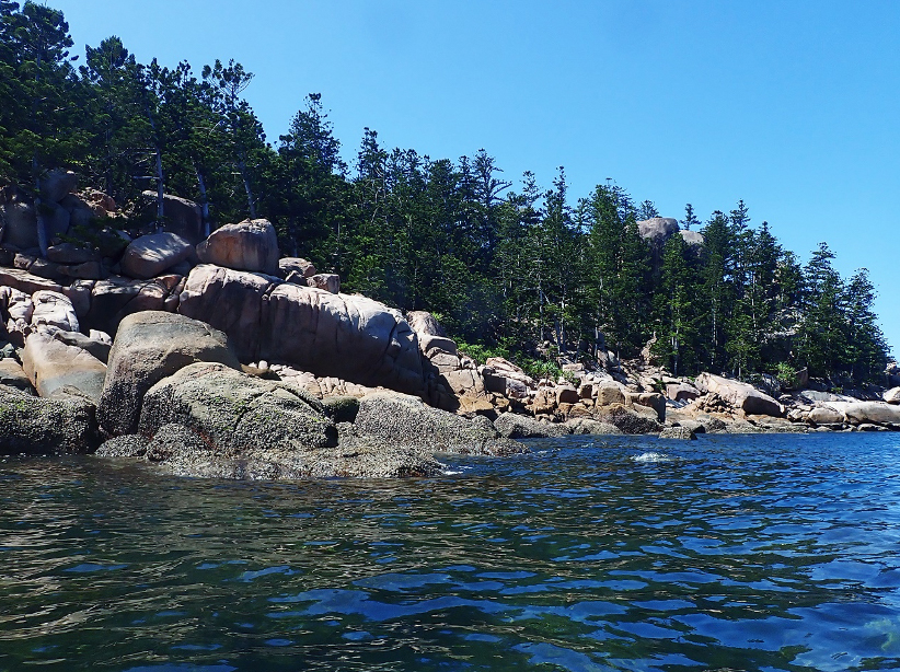
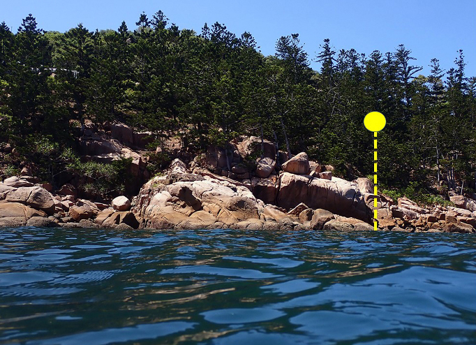
STEP 3 – Transect A survey direction marker
- Description: The right-hand end of the large granite rock formation on the northern shoreline
STEP 4 – Transect A survey end point
- Description: Granite rocks on the shoreline at the base of the large formation
- GPS Location (DDM): 19° 7.727’S 146° 52.669’E
- GPS Location (DMS): 19° 7’43.60″S 146°52’40.16″E