Arthur Bay
Site Information
STEP 1 – Transect A reference point
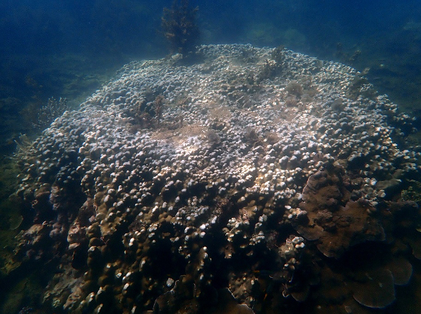
- Description: Lumpy Porites colony about 2m in diameter
- Location: 25m from the rocks on the north side of the bay
- GPS Location (DDM): 19° 7.727’S 146° 52.683’E
- GPS Location (DMS): 19° 7’43.60″S 146°52’40.96″E


STEP 2 – Transect A survey direction
- Direction: 263° Magnetic (almost West)
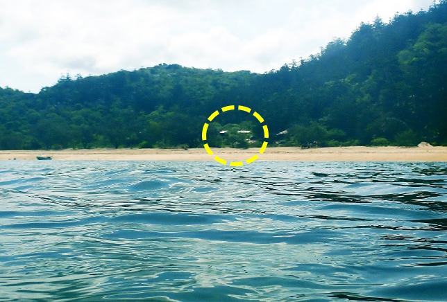
STEP 3 – Transect A survey direction marker
- Description: The Roof of the Arthur Bay House

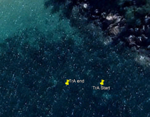
STEP 4 – Transect A survey end point
- Description: Large sandy hole in the reef
- Location: 23m west of the start point
- GPS Location (DDM): 19° 7.727’S 146° 52.669’E
- GPS Location (DMS): 19° 7’43.60″S 146°52’40.16″E


