Little Arthur Bay
Site Information
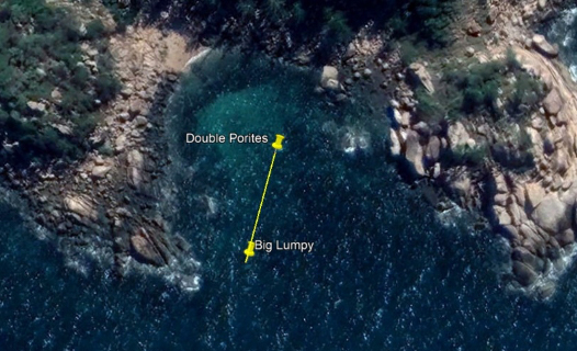
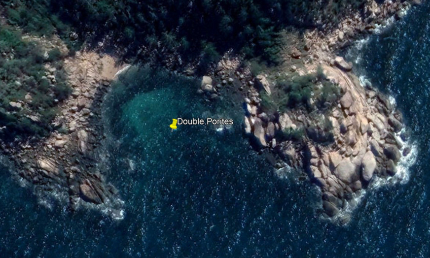
STEP 1 – Transect A reference point
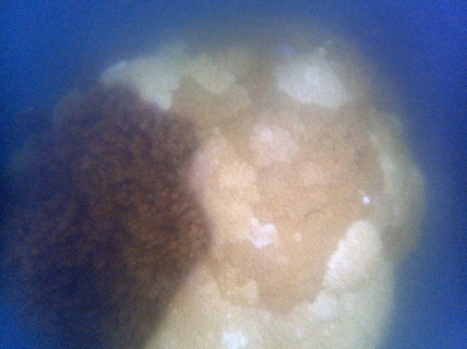
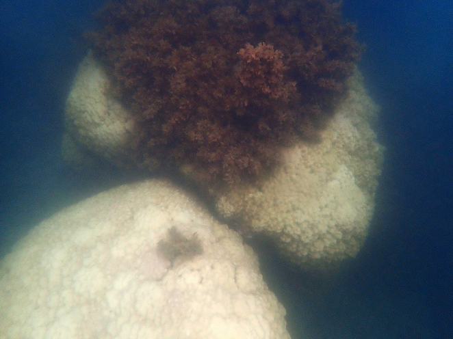
- Description: The Eastern half (algae covered) of a large double Porites Bommie
- GPS Location (DDM): 19° 7.709’S 146° 52.764’E
- GPS Location (DMS): 19° 7’42.53″S 146°52’45.83″E
STEP 2 – Transect A survey direction
- Direction: 188° Magnetic (almost South)
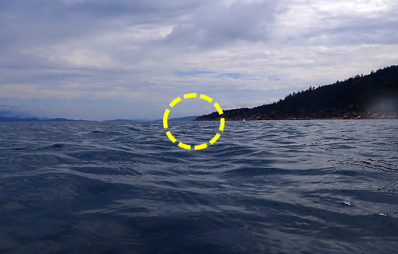
STEP 3 – Transect A survey direction marker
- Description: Point of Magnetic Island due South
STEP 4 – Transect A survey end point
- Description: Very large round porites coral, lumpy growth marks on top
- Location: 45m south of the start point
- GPS Location (DDM): 19° 7.732’S 146° 52.757’E
- GPS Location (DMS): 19° 7’43.94″S 146°52’45.44″E