Gowrie Cove
Site Information
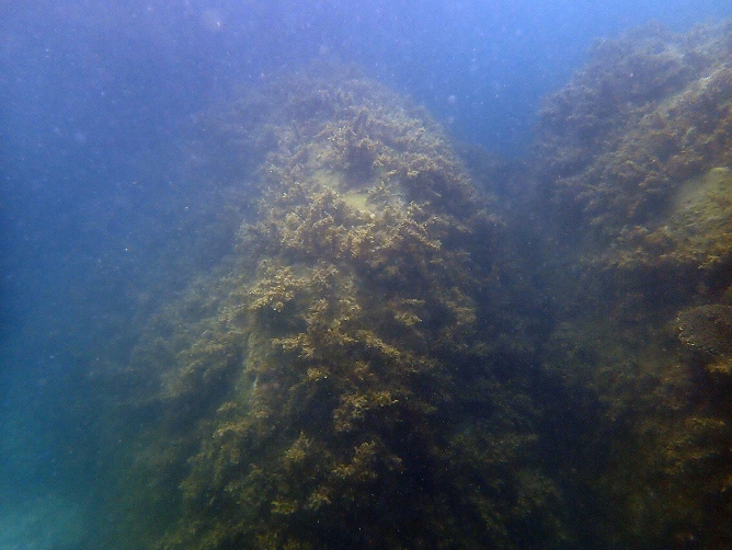
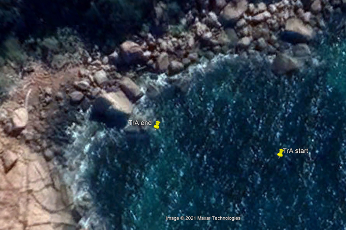
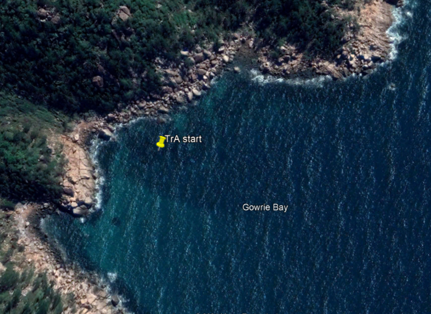
STEP 1 – Transect A reference point
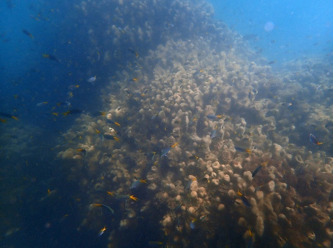
- Description: Large Psammocora digitata colony about 2m and 5m wide
- Location: Adjacent to the large triangular rock on the shoreline
- GPS Location (DDM): 19° 6.915’S 146° 52.864’E
- GPS Location (DMS): 19° 6’54.92″S 146°52’51.84″E
STEP 2 – Transect A survey direction
- Direction: 276° Magnetic (West North-west)
STEP 3 – Transect A survey direction marker
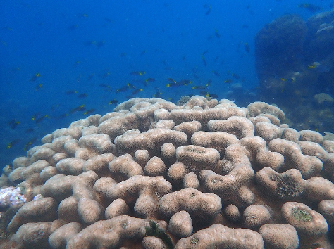
- Description: The large triangular rock on the shoreline

STEP 4 – Transect A survey end point
- Description: The base of the large triangular rock on the shoreline
- Location: 45m from the start point
- GPS Location (DDM): 9° 6.910’S 146° 52.838’E
- GPS Location (DMS): 19° 6’54.60″S 146°52’50.28″E