Whitfield Cove
Site Information
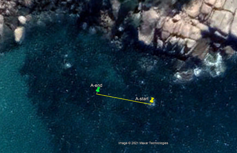
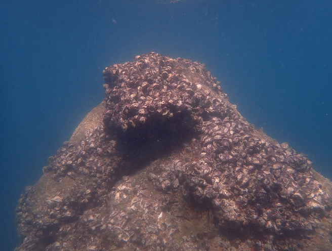
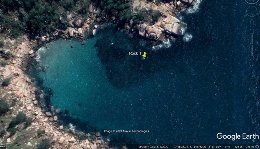
STEP 1 – Transect A reference point
- Description: Large, pointed rock, crown of oysters, emergent at most tides
- GPS Location (DDM): 19° 08.589’S 146°52. 349’E
- GPS Location (DMS): 19° 8’35.34″S 146°52’20.96″E
STEP 2 – Transect A survey direction
- Direction: 270° Magnetic (West)
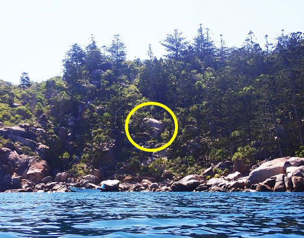
STEP 3 – Transect A survey direction marker
- Description: Large oblique rock in the middle of the hill
STEP 4 – Transect A survey end point
- Description: Large subsurface granite rock, covered in macroalgae
- Location: 29m west of the start point
- GPS Location (DDM): 19° 08.586’S 146°52. 333’E
- GPS Location (DMS): 19° 8’35.16″S 146°52’20.00″ E