Florence Bay
Site Information
STEP 1 – Transect A reference point
- Description: Transect A starts at the southern end of the sandy gully that extends from the large rocks on the northern point of Florence Bay, and proceeds ESE toward the large rectangular rock on the point.
- GPS Location (DDM): 19° 7.274’S 146° 52.947’E
- GPS Location (DMS): 19° 7’16.42″S 146°52’56.83″E
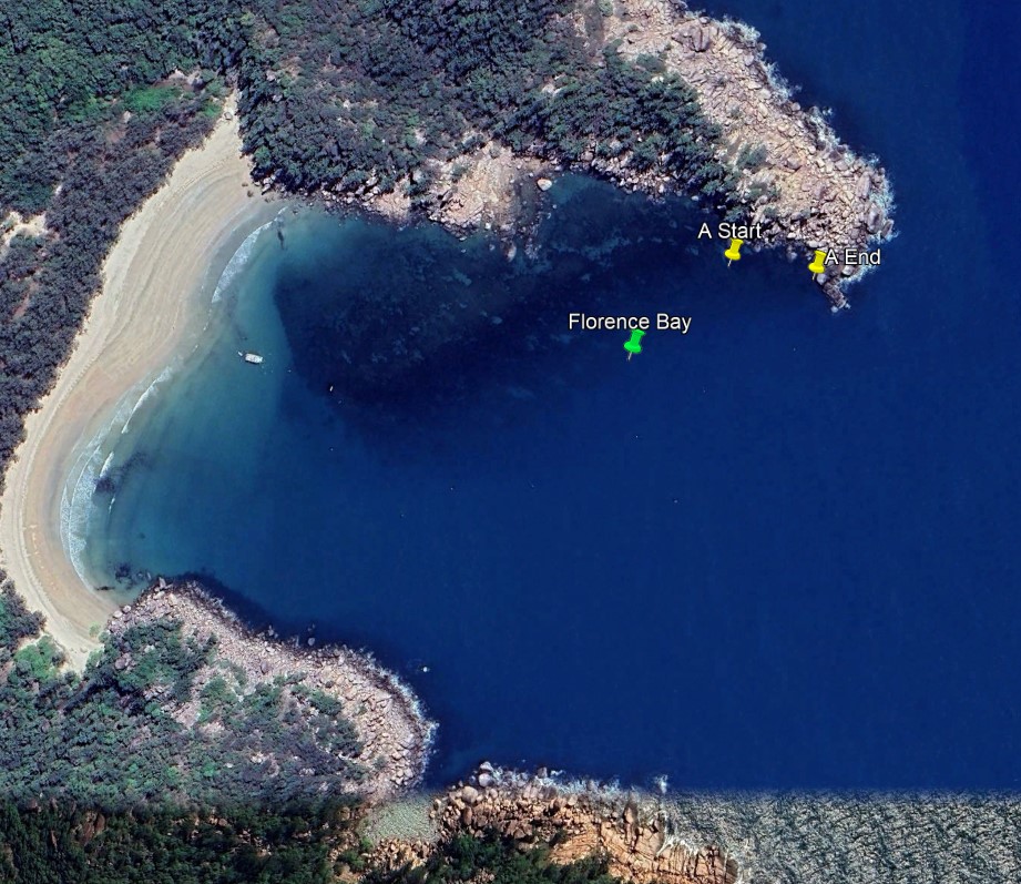
STEP 2 – Transect A survey direction
- Direction: 91° Magnetic (East)26
STEP 3 – Transect A survey end point
- Description: In front of the large triangular rock near the end of the point.
- GPS Location (DDM): 19° 9.264’S 146° 52.119’E
- GPS Location (DMS): 19° 7’16.75″S 146°52’58.97″E